 June 2015
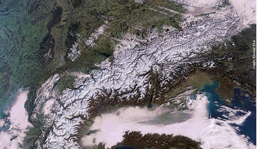
Watching over alpine explorers
... between mission control and search and rescue team. Highly detailed map data (topographical maps and geo-referenced orthographic photos) are necessary for mission control as well as for the mountain rescuers. Sarontar is designed...
 October 2015
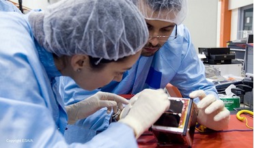
Growing space businesses in the UK: from incubation centres to public funding
... contribution to the European Space Agency’s budget coming from the UK, more is coming back to the UK in terms of absolute geo-return (the process by which ESA ‘returns’ the money to the UK in the form of industrial contracts). Indeed, at times...
 October 2015
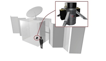
Down to Earth: how to deorbit satellites and save money
... not only affect LEO and large constellations of satellites, but disrupt the business-as-usual scenarios, including GEO and MEO satellites. As space gets more crowded, it is important to be able to clear occupied slots to make way for...
 February 2016
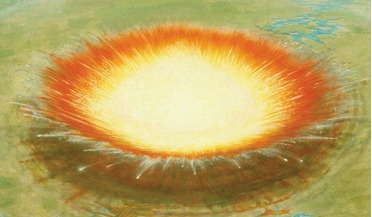
Protecting Earth from cosmic disasters
... obtained, an assessment of the blast aftermath for the population and the environment are performed, using geo-information technology and mathematical models. This helps to implement a systemic approach to assessing the consequences of celestial...
 March 2016
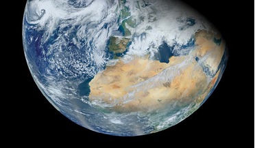
Saving Earth from an Expanding Sun
... means it is now cutting through the Sun’s magnetic field not Earth’s (except when it passes through the ‘geo-tail’ for part of one day each month). You can push and pull against that and...
 September 2016
Life in the extremes: confessions of an astrobiologist
... that occurred during Earth’s history. On the other hand, hydrothermal vents, certain sedimentary formations and other geo-chemical environments are considered to be very likely locations for the first forms of life to have emerged. Likewise...