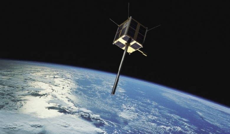
Over the past decade Norway has pioneered operational maritime surveillance from space using low budget microsatellite technology and national payload development for both technology improvement and surveillance of the maritime domain. The result is a highly original national programme combining in-orbit demonstration with fulfilment of government operatiional needs.
Norway is a maritime nation with a long history in shipping and fisheries, as well as oil and gas exploitation at sea. With more than two million square kilometres of ocean areas, much of which is in the Arctic, monitoring and control is a challenge. Norway has been a member of the European Space Agency (ESA) since 1985 and is a full member of the EU programmes Copernicus and Galileo. The national benefit of international collaboration is continuously important, but in some areas the data provided by Earth observation (EO) satellites do not cover all of Norway’s national user needs.
On this basis, and with experience from international science and Earth observation satellite cooperation missions and scientific sounding rockets, the Norwegian Space Agency (NOSA) and the Norwegian Defence Research Establishment (FFI) took the initiative in 2006 to begin development of a small satellite. The satellite would collect Automatic Identification System (AIS) signals from ships that could thus be positioned, identified and tracked, as a tool for improving maritime surveillance in open waters. A polar orbit would ensure frequent (every 90 min) coverage of the northernmost areas.


