 May 2017
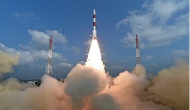
India confirms commercial launch intent
... Indian - the primary payload being the 713 kg Cartosat-2 satellite which will be used for cartographic and remote sensing purposes, and two ISRO nanosatellites weighing 8.4 kg and 9.7 kg respectively. The additional 101 foreign micro and nano...
 August 2017
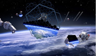
On-orbit assembly will deliver major benefits in coming decade
..., policy studies and analyses in the space sector. She is a member of the US-NOAA Advisory Committee on Commercial Remote Sensing, and co-chairs a National Academy of Science committee on assessing the infrastructure for space radiation testing.
 April 2021
Satellites in the cloud: data from orbit
... marketplaces in the mid-tier with players such as SkyWatch, UP42 etc. vying to collate and serve a variety of EO/remote sensing data products. A quick search for “satellite” on the AWS marketplace and Azure marketplace reveals a variety of products...
 September 2021
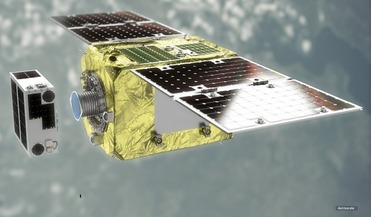
Developing an in-orbit servicing and manufacturing economy
... or malfunction. Inspection covers different service types: remote, ultra-close (where close-proximity capabilities may ...the UK Satellite Applications Catapult. Following a PhD in remote sensing and involvement with a NASA Mars satellite, Sam joined...
 January 2022
Revealing the magnetic universe
... edge-on galaxy (white). Magnetic legacy The Magnetic Universe is an emerging field enabled by new observational techniques, both remote sensing observations and in situ space missions currently being planned. In the far-IR, detailed characterisation...
 February 2022
Revolution and responsibility: the challenges of space
... both orbits around the Earth (the circulation of satellites, the allocation of frequencies, the use of images from remote sensing, etc.) and the exploration of the solar system (the sterilisation of probes and, more broadly, planetary protection...