 November 2018
Pole star rising
... kg). The PSS assumes also that satellite data will be acquired both from the European space infrastructure (e.g. Galileo and Copernicus) and from national resources. One such resource should be a national Earth observation system, capable...
 July 2019
Aggression in outer space – time for action
.... This would make of lot of sense, since the EU has become a major space actor with its global Galileo navigation/positioning system and its Copernicus Earth observation programme which operates several Sentinel satellites in LEO...
 April 2020
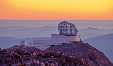
Satellite mega-constellations pose threat to ground-based astronomy
... services. Several such constellations already exist, the best known of which are the GPS, Glonass and Galileo systems. But they all comprise a small number of satellites, in each case well below a hundred. Now, several...
 April 2021
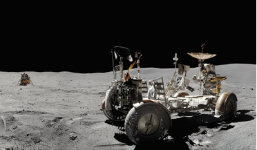
Managing the Moon - a model for engaging with planetary environments
... resources, including the Moon. This view of the Moon’s north pole is a mosaic assembled from 18 images taken by Galileo’s imaging system through a green filter as the spacecraft flew by on 7 December 1992. You could argue that an active...
 April 2021
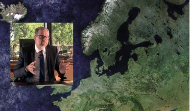
Making space part of the everyday European agenda
... EU has very clearly expressed policies and we need to identify how space can work in providing solutions. The Galileo satellite navigation system is obviously another example of where it works extremely well, where we have a system in place for...
 October 2021
A US space strategy for 2050: shaping a domain on the cusp
... key to accessing cislunar space, deep space, and other yet-to-be-dreamed-of strategic uses. Separate images by NASA’s Galileo spacecraft were combined to generate this view of the Earth and Moon. Working together The language [of the...