 March 2021
iPhone moment for the Earth observation industry
... in the Insights layer are users from specific industry verticals who would directly use insights provided by satellite imagery to support their decision-making processes. In some cases, this audience does not know how the insights...
 May 2022
The Space Industry in 2022
... to the world and up-to-the minute intelligence on the course of the Russian invasion of Ukraine through high resolution satellite imagery. NASA’s new Moon rocket, the Space Launch System (SLS), was rolled out in March to Pad 39B...
 January 2023
Original Sin - Power, Technology and War in Outer Space
... arts and humanities academics who cared to look for it. Publicly-released satellite imagery of the Russian invasion of Ukraine in 2022 demonstrated spy satellite technologies to mass audiences that governments and militaries have enjoyed for decades...
 February 2018
Growth drivers, requirements and threats in the smallsat industry
... like virtual reality (VR). Industries such as agriculture, oil and gas and shipping are increasingly using satellite imagery to monitor their operations. It is estimated that 80 percent of global space revenue is coming from downstream services...
 26 October 2020
Satellite imagery and broadband to create $4 billion EO market by 2029
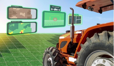
US-based global business development firm TerraMetric has teamed up with international consulting and research firm Euroconsult to produce a new study titled, "EO4AG - Earth Observation for Agriculture". With both companies operating in the space ...
 August 2017
Space invaders and the usual suspects - disruptive trends in Earth observation
... Earth in June 2005, based on a virtual globe created by Keyhole Inc, also triggered a disruption, in democratising access to satellite imagery. Google Earth opened the door to full private investment from non-space players. Another major innovation...