 January 2023
Portugal’s sustainable space strategy
... and satellites can help us in this way because the sheer scale makes it impossible to monitor such an extensive marine environment with boats or aircraft. This is how we are shaping our national programmes, to provide solutions for a sustainable...
 February 2023
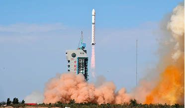
Remote sensing by satellite - People’s Republic of China
... meteorological satellite series of the World Meteorological Organization. Haiyang (HY) ocean satellite Haiyang are a group of marine scientific remote sensing satellites developed by the Chinese Academy of Space Technology (CAST) and operated by the...
 10 March 2017
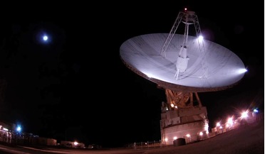
New interplanetary radar technique spots "lost" lunar spacecraft
... the Moon. DSS-14 is also known as the "Mars Antenna" as it was the first antenna to receive signals from Mariner 4 – the first spacecraft to closely observe Mars – on 18th March, 1966. Although the technique has been used...
 26 November 2018
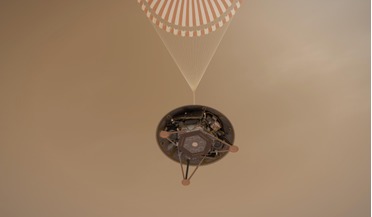
Success for InSight as it performs a flawless landing on Mars
... been the focus of missions to the Red Planet since the first successful flyby of the planet in 1964 by Mariner 4. “Now we finally will explore inside Mars and deepen our understanding of our terrestrial neighbor as NASA prepares...
 20 February 2019
Trump signs directive to initiate his Space Force
... legislation from Congress, if the Space Force was created as part of the Air Force – similar to how the Marine Corps is seen as a distinct unit but is fundamentally part of the US Navy – then it could be a way to placate the lawmakers...
 07 August 2019
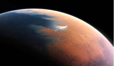
Crater evidence points to a past mega-tsunami on Mars
... Mars Orbiter Laser Altimeter (MOLA), an instrument on the Mars Global Surveyor (MGS). These mirror features seen in marine impact craters on Earth and are caused when the rim of the crater collapses inward after the...