 February 2022
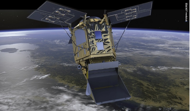
Building space-qualified detector chips
... 0.5 km and enable the acquisition of an image of the Earth within as little as 10 minutes. The intensity maps generated by this instrument will enable scientists to monitor wind patterns; observe fog, sandstorms and levels of dust and ice; and study...
 August 2018
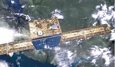
Earth observation game-changer
...of ICEYE which seeks to launch and operate a constellation of micro-SAR satellites providing access to timely and reliable Earth observation data. Since co-founding the project in 2012 with Pekka Laurila, and forming a company in 2014, Modrzewski has...
 13 September 2017
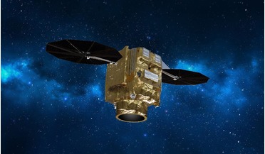
New constellation to reshape Earth observation market
... and secured governmental applications with another four satellites added to our existing Airbus fleet of 10 accessible Earth observation satellites,” said Evert Dudok, Head of Communications, Intelligence and Security at Airbus Defence and Space...
 31 July 2019
Satellite-Based Earth Observation: Trends and Challenges for Economy and Society
... Economic Chamber in Graz, Austria. What really impresses in this book is its multidimensional character, as satellite-based Earth observation is explored in its legal, strategic, technical and economic aspects, while at the same time the broad range...
 12 April 2019
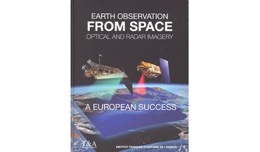
Earth Observation from Space
... satellites, Europe – and France in particular – has “played a pioneering role in the promotion of satellite-based observation of the Earth”, as this book illustrates. Its somewhat clunky subtitle, “Optical and Radar Imagery – a European Success 1960...
 17 November 2020
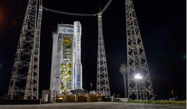
Vega fails during launch of European Earth observation satellites
... days, and could have helped map natural disasters such as floods, wildfires and earthquakes. ESA’s Director of Earth Observation Programmes, Josef Aschbacher, said, “We are all very sad for the loss of the SEOSAT-Ingenio land...