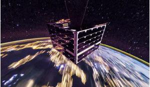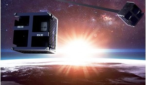


Tropical rainforests account for only about six percent of the Earth’s surface yet they are home to around half of all living species and provide about 40 percent of the world’s oxygen. Monitoring is vital to map forest cover and identify areas of deforestation and satellites have proved to be valuable tools in helping to reduce rates of deforestation. But current technologies have their limitations - struggling to capture clear images in cloudy conditions and providing data that can be weeks or months out-of-date. A low inclination orbit CubeSat constellation could be one way of resolving these problems to deliver accurate and timely data.
The equatorial region is home to the most important rain forests and the largest rivers (in volume) in the world. Five of the 10 largest rivers, in volume of water, are in the equatorial belt, meaning that this valuable resource is largely concentrated in one narrow strip around the planet. The interdependence between the waters of the rivers and the rainforest is very strong and damage inflicted to one of them will cause corresponding damage to the other.
Serious and operational monitoring of the forests and rivers of the equatorial region is urgently needed. The most efficient tool at our disposal is the use of satellites to monitor the region on a constant basis, but the current tools and methods used in recent decades have only allowed monitoring of large-scale deforestation processes and their consequences to the environment.